Built for off-grid communities
A white-label architecture that gives every community its own branded app — same codebase, same infrastructure, unique identity. GPS parcel maps, safety tools, and community features, all sourced from free public data.
Platform
Built for off-grid communities
Every community app includes these features, tailored to the local area and sourced from free public data.
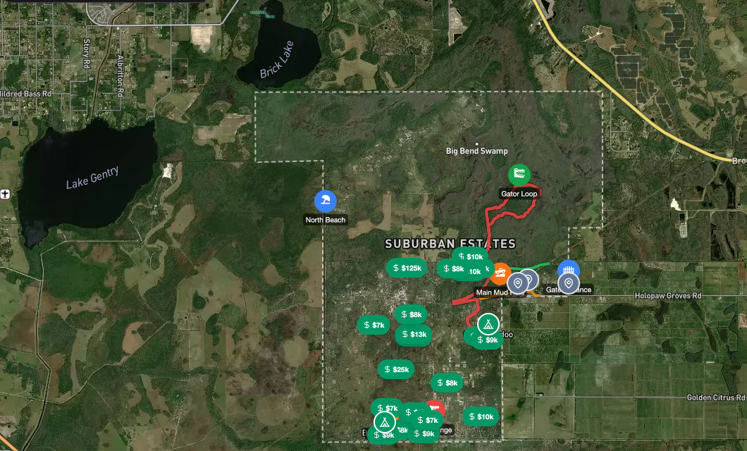
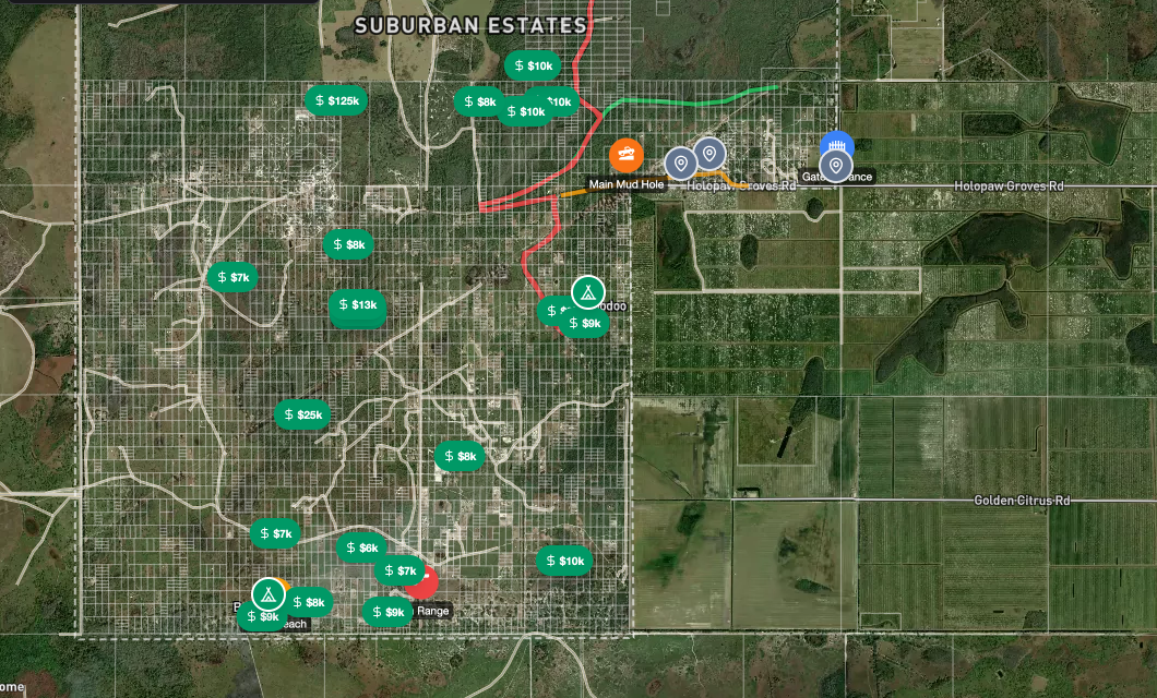
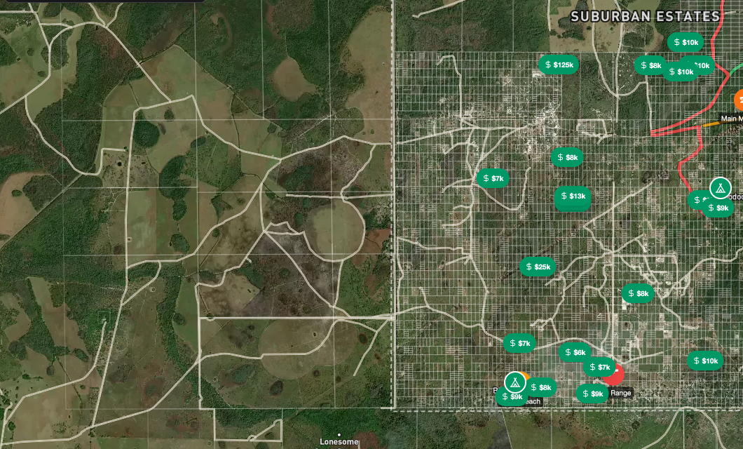
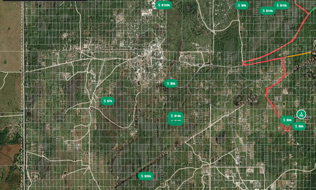
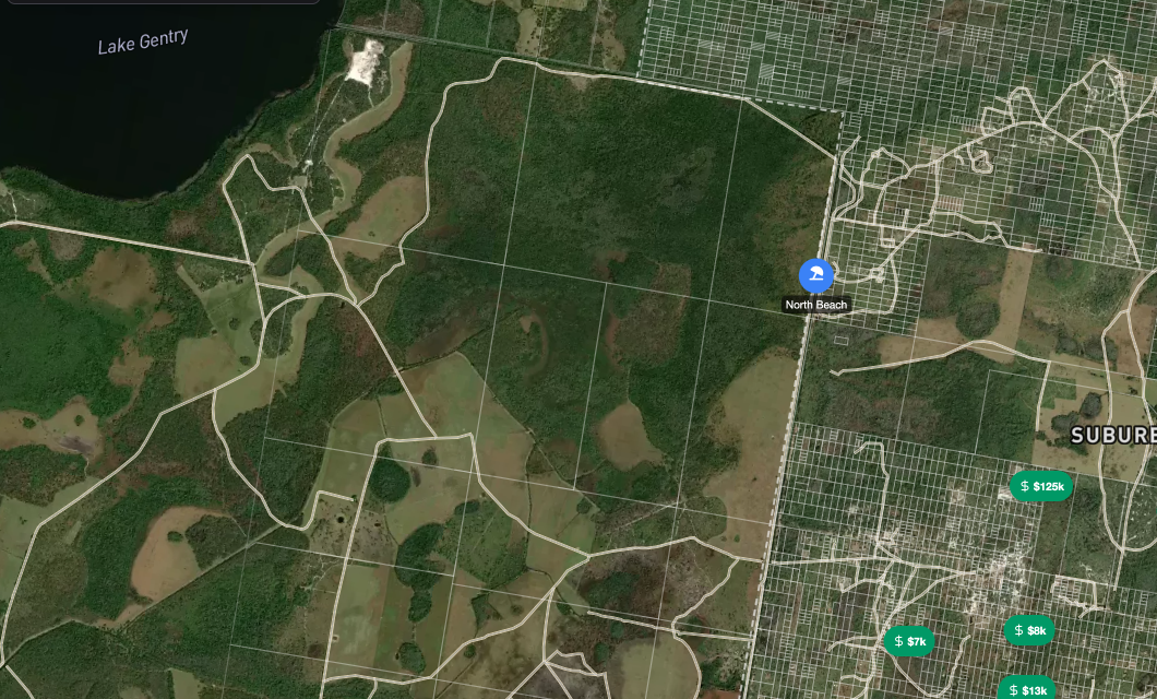
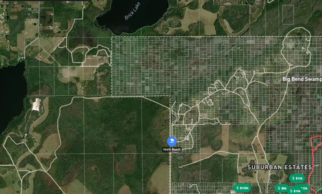
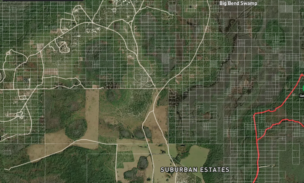
Free Parcel Maps
Satellite maps with parcel boundaries, owner info, and GPS tracking. No subscription required.
3D Flyover Mode
Explore your land and surrounding area in immersive 3D with drone-style flyover.
Land for Sale
Browse parcels listed for sale — FSBO listings and tax deed auctions in one place.
Tax Deed Auctions
Track upcoming tax deed auctions with parcel details, bid history, and countdown timers.
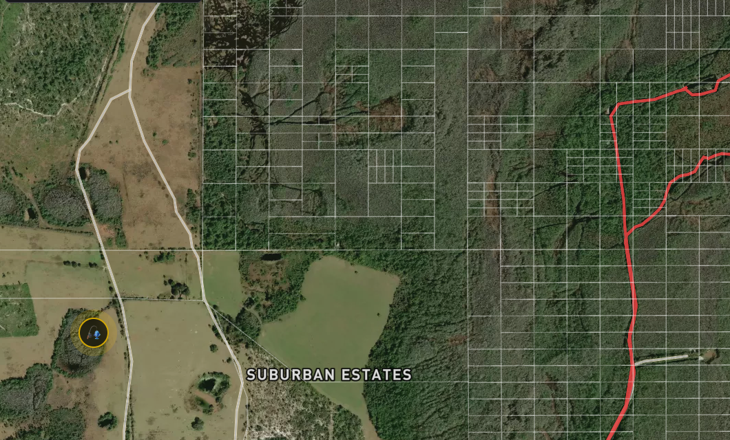
SOS Emergency Alert
One-tap SOS that shares your exact GPS location with emergency contacts.
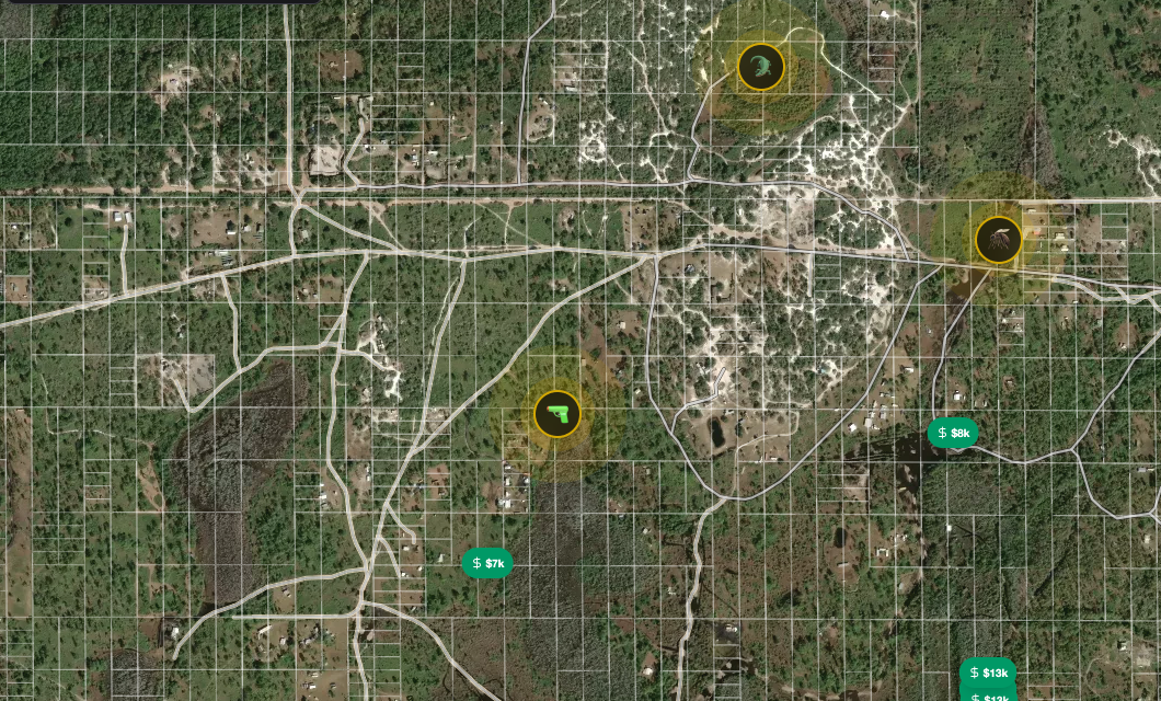
Fire Alerts
NASA FIRMS satellite data monitors for active fires 24/7 near your community.
Water Levels & Flood Risk
Real-time water levels from local USGS gauge stations with map overlays.
Road Conditions
Community-reported road conditions — clear, muddy, or flooded — before you drive.
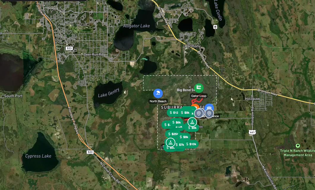
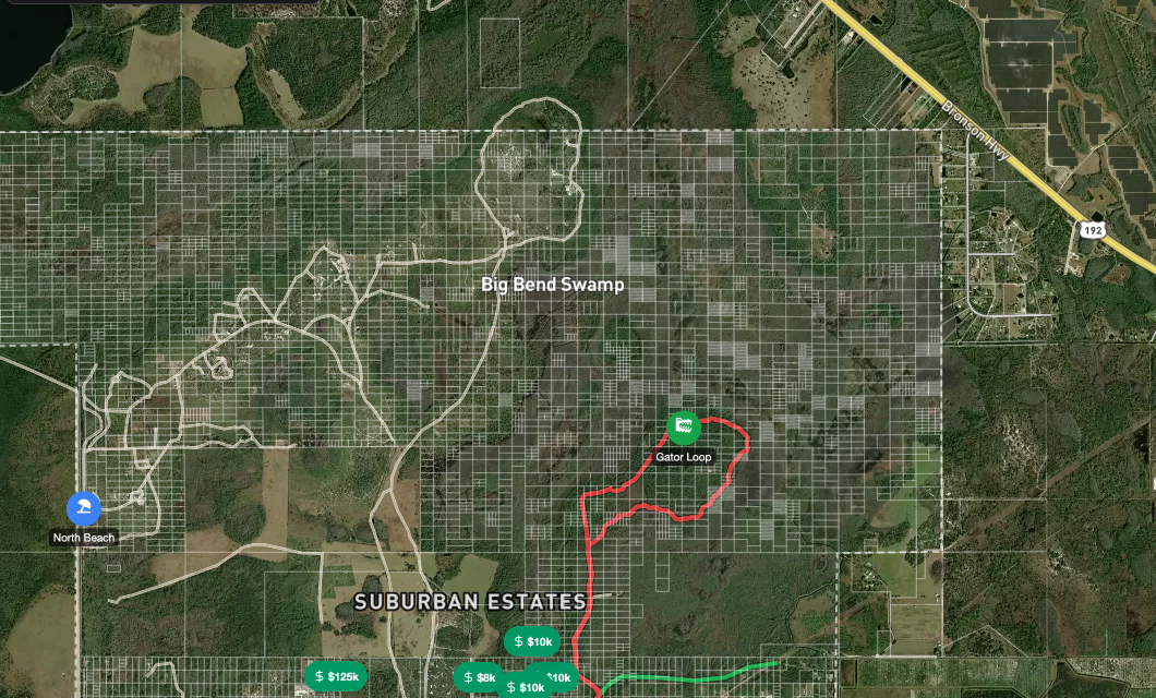
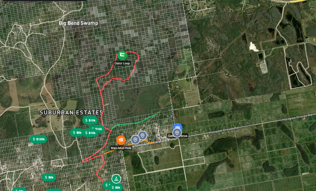
GPS Trail Recording
Record GPS breadcrumb trails as you ride. Every track builds the community heatmap.
Group Ride Tracking
See all riding partners on the map in real-time. Share a code, join a group.
Camp Profiles
Showcase your camp setup — photos, amenities, and location on the map.
Buy / Sell / Trade
Community marketplace for gear, equipment, and land with photos and map pins.
Community Chat
Connect with neighbors, share updates, and coordinate weekend plans.
Community Photos
A shared photo feed — landscapes, camp setups, trail shots, and local events.
Local Services
Find well drillers, solar installers, land clearing, and more — vetted by members.
Gate & SEPA Access
Request gate codes and SEPA access directly from your phone.


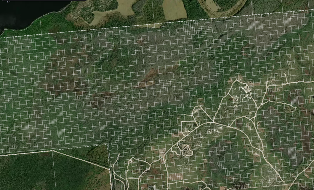
GPS Parcel Maps
Every parcel, every owner, for free.
Satellite maps with accurate parcel boundaries, owner data, and GPS tracking. Sourced directly from county GIS portals at zero cost. Residents can search by owner name, parcel ID, or tap anywhere on the map.

Trail Navigation
Record trails. Ride together.
GPS breadcrumb recording builds a community trail heatmap over time. Join a group ride and see all riders on the map in real-time. Every track makes the map smarter.
Emergency & Safety
When minutes matter.
One-tap SOS broadcasts your exact GPS coordinates. NASA FIRMS monitors for active wildfires 24/7. Water levels from USGS gauge stations show flood risk in real-time.


Community Economy
Buy, sell, trade. Find local services.
A community marketplace for gear, equipment, and land listings. Plus a vetted services directory — well drillers, solar installers, land clearing, and more. Everything your community needs, organized by location.

Operator Dashboard
Full visibility into your community.
A built-in admin panel gives community managers real-time analytics — traffic stats, member counts, platform breakdown, and daily trends. See exactly how your community is using the app.
Admin Tools
Configure everything. Manage everyone.
Toggle navigation items on or off, pin features to the mobile bottom bar, manage members, and customize feature flags — all from a visual admin panel. No code required.


Compare
Why Off Grid Hubs?
Unlike subscription-based parcel apps, Off Grid Hubs is completely free — with full parcel data, owner info, and community features included.
| Feature | Off Grid Hubs Free | Regrid | LandGlide | Land id |
|---|---|---|---|---|
| Price | Free | From $99/yr | ~$99/yr | From $99/yr |
| GPS Parcel Maps | ||||
| Parcel Boundaries | ||||
| Owner & Contact Data | Free | Paid add-on | Paid | Paid |
| Full Area Coverage | Partial | Paid | Paid | |
| No Account Required | ||||
| SOS & Emergency Alerts | ||||
| NASA Fire Alerts | ||||
| Water Levels & Flood Risk | ||||
| Road Conditions | ||||
| Community Chat | ||||
| Camp Profiles | ||||
| Local Services Directory | ||||
| Community Marketplace | ||||
| Trail Recording & Heatmap | ||||
| Group Ride Tracking | ||||
| Tax Deed Auctions | ||||
| Gate & SEPA Access |
Narrow focus is what keeps it free
Paid parcel services are expensive because they cover every county in America. That breadth costs real money. Off Grid Hubs goes deep on 20 specific communities, sourcing parcel data from free county GIS portals and letting residents contribute local knowledge. Staying narrow is what makes it sustainable.
Fire detection runs automatically from NASA FIRMS. Water levels are pulled from USGS gauges. Trail maps build themselves from GPS recordings. Every data source is free, every process is automated.
See the business opportunity
Six revenue streams, near-zero marginal costs, and a $5B+ adjacent market in tax deed auctions.