About Off Grid Hubs
A place to find off-grid communities and land, with free tools to check a lot and plan the build. Communities that run their hub here give residents parcel maps, safety alerts, and a real neighbor feed.
On the map
What we’ve mapped
Built from public data and from the businesses themselves, with the source kept on every record. All of it sits on one free map, and you never need an account to use it.
- Off-grid communities
- 120
- Land for sale
- 259
- Springs & hot springs
- 35,878
- Trailheads & visitor centers
- 490
Our story
Why we built this
Off Grid Hubs started as a single app for Holopaw Suburban Estates, a few thousand rural lots where Google Maps doesn’t know the property lines and paid services like Regrid and LandGlide charge a yearly fee just to show you your own land.
That county’s parcel data was public, so the app was free. What started as one community’s app grew into a directory of off-grid communities across the country, with free tools for anyone looking for land, and the same resident app for any HOA or association that wants one.
What we believe
Find the right community
Off-grid communities and rural subdivisions across the US, with acreage and lot details on each listing, plus land for sale inside them.
Know before you buy
A free land report checks flood zone, septic, road access, and public land for any address. Property lines are free in the states that publish them.
Tools for the people who live there
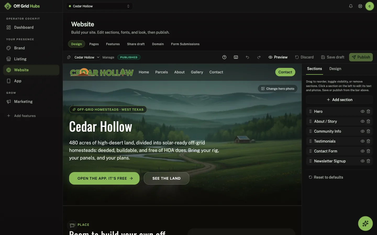
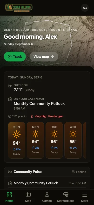
Communities that join give residents parcel maps, wildfire alerts, gate key requests, and the board's own events calendar.
Free, and staying free
Buyers and residents never pay. HOAs and associations that want a better listing and a resident app pay a plan, which keeps everything else free.
Watch
GoHubs in one minute.
Every activity, one free app. See the map, conditions, route planner and trails in action.
The network
Part of the Great Outdoor Hubs network
Great Outdoor Hubs is the company behind a family of outdoor activity sites and one free app, GoHubs. Our work starts with data. Trails and forest roads, rivers and live gauges, tides and marine forecasts, public land, campgrounds and fish stocking all come from the agencies that publish them, and we keep the source attached.
Then we make it useful. The same data runs the maps, conditions, planners and listings on every site, and goes into the field with the GoHubs app, whose GPS tracks keep recording with no signal. Every site shares one platform, so a tool built for one activity reaches the rest.
Outdoor businesses get the other half: one dashboard for their listing, website, bookings, waivers, customers and marketing, plus their own hub inside GoHubs. It is written in plain words for people who would rather be outside than at a desk, and their subscriptions are what keep the maps and tools free for everyone else.
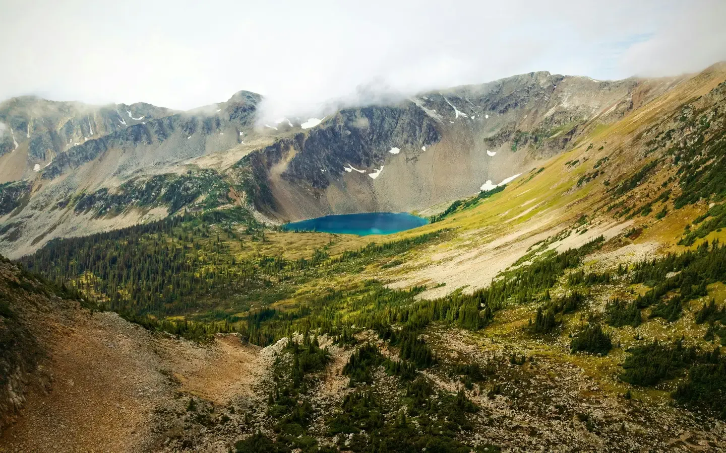
The shared platform powering fifteen outdoor community brands.


Get started
Explore Off Grid Hubs
Free tools, built on public data, for the people who actually live and play here. Jump in. There's nothing to pay and nothing to install.