Free Tool · No account required
Draw your homestead site plan on a real map
Trace your property on satellite imagery, turn on free parcel boundaries, and place the cabin, well, septic, solar array, and garden where they'll actually go. The site plan you'd sketch on paper, drawn on your real land.
- Free for everyone
- No account, no signup
- Free parcel boundaries
- Made for off-grid land

What it does
From raw land to a site plan.
Your land, not a blank grid
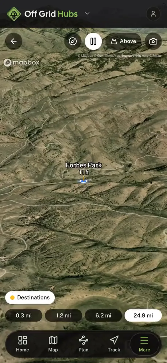
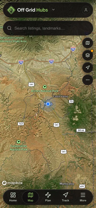
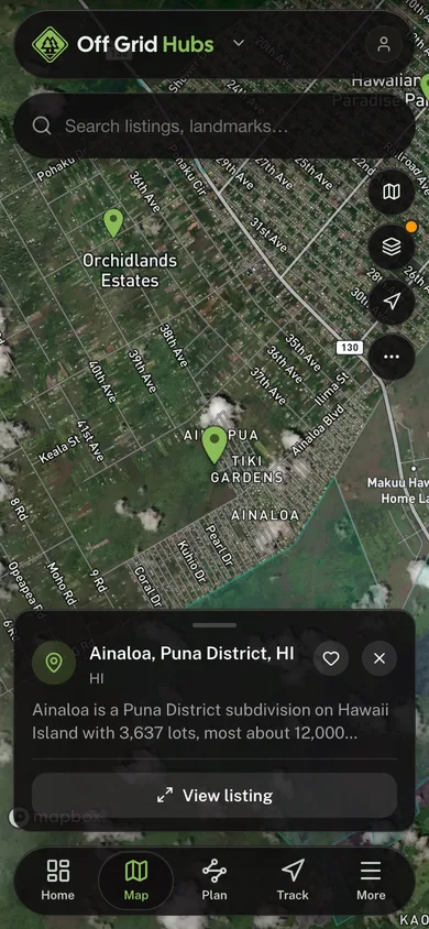
Search your address or coordinates and plan directly on satellite imagery, with slopes, tree lines, and clearings visible under every decision you make.
Real parcel boundaries, free
Turn on the parcel overlay to see your actual lot lines from Regrid’s free nationwide parcel layer, so the well, septic, and fence land inside your property and not your neighbor’s.
The whole build-out catalog
Place a cabin, well, septic, solar array, garden beds, driveway, fencing, and water tanks. Drag to reposition as the plan takes shape.
Pick it back up anytime
Work saves in your browser automatically. Create a free account to keep named layouts and re-open them from any device.
How it works
Three steps to a homestead plan.
01
Find your land
Search your address or drop a pin, then turn on the free parcel overlay to see your actual lot lines on the satellite map.
02
Trace your boundary
Click around your property line to trace it. Everything you place from here on is planned against your real acreage.
03
Place your build-out
Drop in the cabin, well, septic, solar array, garden, driveway, and fencing, then drag anything until the layout feels right.
Why it's free
Built for off-grid living, not upsells.
Off Grid Hubs makes free tools for people building a life off the grid. This planner runs in your browser on free, public GIS data. No quote forms, no email wall, no selling your info. Use it to plan a purchase, site a build, or just see what your land could hold.
Common questions
Homestead planning, answered.
Ready to lay out your land?
Free, no signup, and your plan saves right in this browser.
More free tools
Other tools in this kit

Everything Map
Listings, trails, spots, clubs and public land on a single full-screen map. Switch layers on and off, then tap any point for the details.
Open Everything MapProperty Lines Map
Property lines from your state’s own public parcel records on satellite imagery. Search an address and tap a parcel for its parcel ID, size, and owner where the state publishes it.
Open Property Lines MapLand Report
Check land before you buy it: the FEMA flood zone, how the soil rates for a septic system, elevation, solar, and the parcel owner, from government data.
Open Land ReportCabin Builder
Sketch a cabin in 3D, then export a blueprint and bill of materials. Nothing to install.
Open Cabin BuilderSolar Planner
Size panels, batteries, and an inverter from your appliance loads, with real sun data for your land.
Open Solar PlannerRoute Planner
Drop stops on a map and watch distance and drive time add up. Export a GPX or share the link.
Open Route PlannerLand for Sale
Browse parcels for sale on a map with acreage, price, and whether owner financing is offered.
Open Land for SaleMaintenance Schedules
Pick your equipment and get its full service schedule. Add your usage to turn intervals into dates.
Open Maintenance Schedules