Golden Valley Ranchos
Golden Valley Ranchos
Rural Subdivision
About
Community details
- Climate
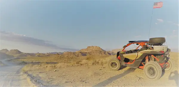
- Mojave desert
- Infrastructure
- Solar, Well, Septic, Power-available
- Amenities
- Shared roads
- Parcel data
- Mohave County (AZ) Assessor/GIS (https://www.mohave.gov/)
Around here
Around Golden Valley Ranchos
Loading map…
- Monolith Garden TrailRecreation area7.2 mi (opens in a new tab)
- Cerbat Foothills Recreation Area (CFRA)Recreation area7.2 mi (opens in a new tab)
- Route 66 Oatman Road Back Country BywayRecreation area8.7 mi (opens in a new tab)
- Windy Point Recreation SiteRecreation area15.2 mi (opens in a new tab)
- Mount Tipton WildernessRecreation area21.6 mi (opens in a new tab)
Temperature from a 1980 federal survey. The record says nothing about access, ownership or current conditions.
Data Source: Recreation.gov · Source: USGS GNIS · Thermal springs: NOAA NCEI (1980) · Public land: USGS PAD-US
Current conditions
Today · Fri
CloudyHigh 58°F, low 43°FRain 9%Wind 16 kt, gusts 27
Water level
39.51 ft
Forecast from Open-Meteo global models (NOAA & ECMWF).
More communities in Arizona
Also nearby
Other ways to get outside within about an hour of here.

Free tools