Skip to content

Free Tool · No account required

Free North Carolina property lines map

Parcel boundaries for all 100 counties in North Carolina, on satellite imagery you can search. Tap a parcel to see its owner name, site address, acreage, parcel ID and assessed value, straight from NC OneMap's public records.

  • Free for everyone
  • No account, no app
  • Official state parcel data

Satellite map with North Carolina property lines from NC OneMap. Search an address or zoom in anywhere, then tap a parcel for its owner name, site address, acreage, parcel ID and assessed value.

Parcel data: NC OneMap. Terms of use. Parcel lines are approximate and are not a survey.

How it works

Find any parcel in three steps.

  1. Open the map

    It starts on North Carolina satellite imagery.

  2. Search or zoom in

    Type an address or coordinates, or zoom to street level. Property lines appear in yellow once you are close enough to tell parcels apart.

  3. Tap a parcel

    It outlines in orange and shows the owner name, site address, acreage, parcel ID and assessed value the state has on record.

About the data

Published by
NC OneMap
Coverage
All 100 counties
Shown for each parcel
owner name, site address, acreage, parcel ID and assessed value
Terms
Free and unrestricted use, per NC OneMap terms.

Each of North Carolina’s 100 counties keeps its own parcel records, and NC OneMap combines them into one statewide layer.

FAQ

North Carolina property lines, answered.

Yes. This map draws North Carolina parcel boundaries from NC OneMap's public statewide parcel layer (all 100 counties) on satellite imagery. It is free, with no account, no trial, and no app to install. Search an address or zoom in, then tap any parcel to see its owner name, site address, acreage, parcel ID and assessed value.

From NC OneMap, which publishes the layer as a public web service. The map asks that service for the parcels in view each time you move it, so you see the state's current copy rather than a stored one. Each of North Carolina’s 100 counties keeps its own parcel records, and NC OneMap combines them into one statewide layer.

No. Parcel maps are drawn from deeds and tax records for assessment, and lines can be off by several feet or more, especially in rural areas. They are good for finding a property and getting a sense of its shape and size. For a fence, a building setback, or a boundary dispute, hire a licensed land surveyor, whose survey is the legal record.

Yes. NC OneMap includes the owner of record in the public parcel data, so tapping a parcel shows the name on the tax roll. That is the owner as the local assessor has it, which can lag a recent sale by weeks or months.

They are good tools and they cover every county in the country, which is what their subscription pays for. If you only need North Carolina, the state already publishes the parcel lines for free, and this map simply puts them on satellite imagery you can search.

Planning on raw land?

Once you know where the lines are, lay out the cabin, well, septic, and garden on the same satellite view.

Open the free site plan maker
In your pocket

Take your land with you.

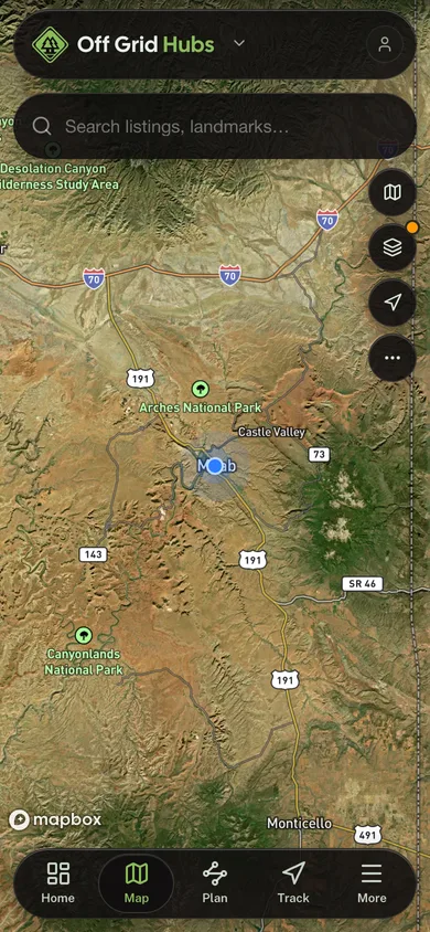
Free, no account needed. Planning tools, public-land maps, and field tools built for off-grid country.

  • Public-land boundaries in your pocket. No subscription

  • Walk a boundary with GPS and see its real shape

  • Plan the route out to the parcel and save it

  • GPS tracking that keeps recording where signal never reaches

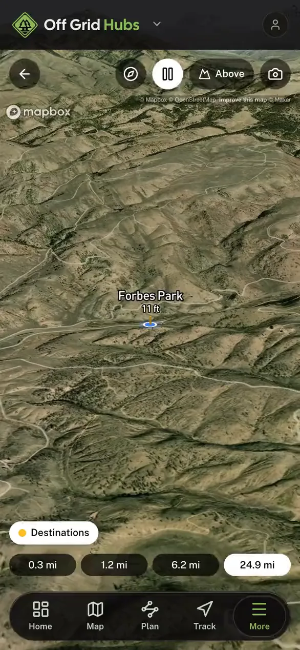
Nearby places standing on the real terrain in 3D in the Off Grid Hubs app

Ready to launch?

Ready to give your community
better tools?

Free GPS parcel maps, fire monitoring, road reports, and community tools, branded for your community and ready in about a week.