Wonder Valley
Wonder Valley
Off-Grid Community
About
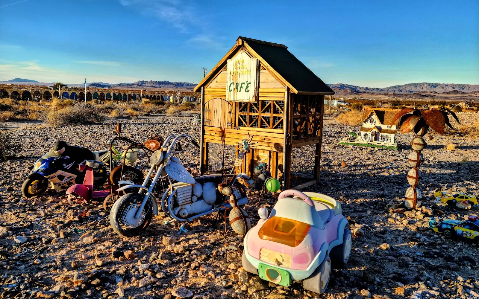
Gallery
Community details
- Climate
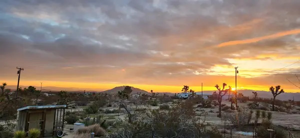
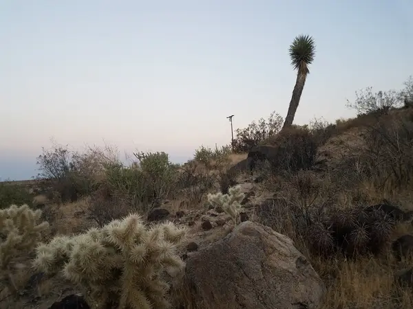
- Mojave desert
- Infrastructure
- Solar, Well, Septic
- Amenities
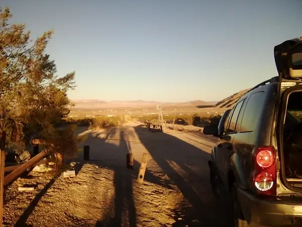
- Shared roads
- Parcel data
- San Bernardino County (CA) Assessor/GIS (https://assessormapviewer.arc.sbcounty.gov/)
Around here
Around Wonder Valley
Loading map…
- Jumbo Rocks CampgroundCampground · 124 sites15.5 mi
- Indian Cove CampgroundCampground · 114 sites16.2 mi
- Indian Cove GroupGroup camp · 13 sites16.7 mi
- Sheep Pass GroupGroup camp · 6 sites17.6 mi
- Ryan CampgroundCampground · 37 sites19.9 mi
- Joshua Tree Lake RV & CampgroundRV park · ★ 4.421.4 mi (opens in a new tab)
- Cleghorn Lakes WildernessRecreation area7.7 mi (opens in a new tab)
- Pinto Mountains WildernessRecreation area10.4 mi (opens in a new tab)
- Joshua Tree National Park Visitor CenterVisitor center10.5 mi (opens in a new tab)
- Joshua Tree National ParkRecreation area16.8 mi (opens in a new tab)
- Sheephole Valley WildernessRecreation area19.1 mi (opens in a new tab)
- Hike Oasis of MaraHiking · 30-45 Minutes9.4 mi (opens in a new tab)
- Hike Contact MineHiking · 2-3 Hours10.7 mi (opens in a new tab)
- Hike Fortynine Palms OasisHiking · 2-3 Hours13.7 mi (opens in a new tab)
- Hike Arch RockHiking · 45-90 Minutes14.2 mi (opens in a new tab)
- Hike Split RockHiking · 90-150 Minutes14.4 mi (opens in a new tab)
- Hike Pine City TrailHiking · 2-3 Hours14.7 mi (opens in a new tab)
Data Source: Recreation.gov · Source: USGS GNIS · Source: National Park Service. No claim to original U.S. Government works. · Public land: USGS PAD-US
Current conditions
Today · Fri
ClearHigh 64°F, low 43°FRain 1%Wind 13 kt, gusts 23
Air quality
36 Good
Joshua Tree NP - Cottonwood Canyon 2 monitor, 46 km
Forecast from Open-Meteo global models (NOAA & ECMWF). Air quality: National Park Service via EPA AirNow. Preliminary data, not verified.
More communities in California
Also nearby
Other ways to get outside within about an hour of here.
Free tools